Hiking- and bikingtrail - Southern Gunnarskogstrail (total length 23,6 km)
Starting point Larstomta Gunnarskog 22 km north of Arvika. N59°48.824´E 12°34.613´
The trail is marked with orange colour.
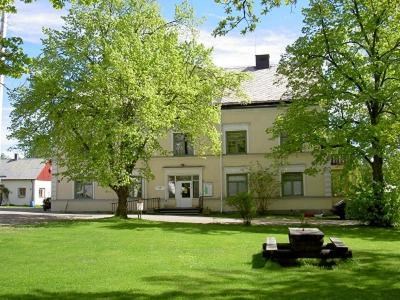
1. Larstomta hostel is the starting point of the hiking trail. The trail passes Gunnarskog local heritage centre, where you can see the Skramlestenen (runestone).
2. Svartviken. Windbreak. The stretch from Larstomta to Svartviken is 1,9 km.
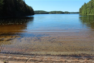
3. Rövarstenen. A glacial erratic. The stretch from Svartviken to Rövarstenen is roughly 500 meters.

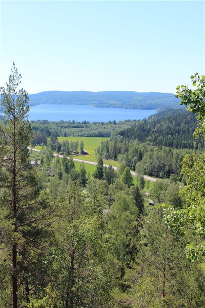
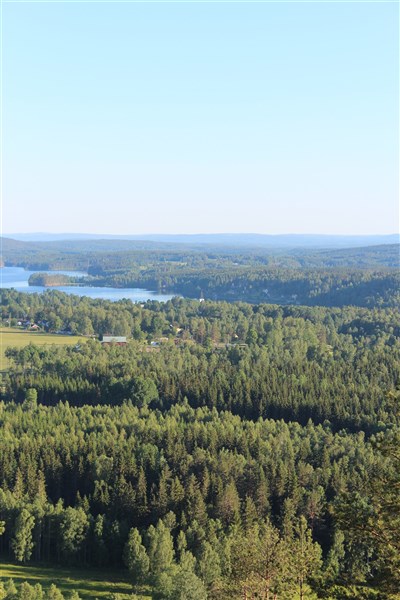
4. Harstacken. View point. Cross the river on the foot bridge. The stretch from Rövarstenen to Harstacken is 1,6 km.
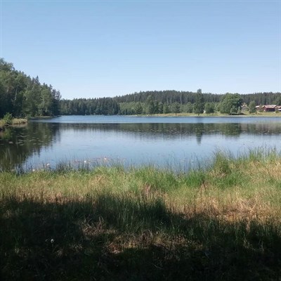
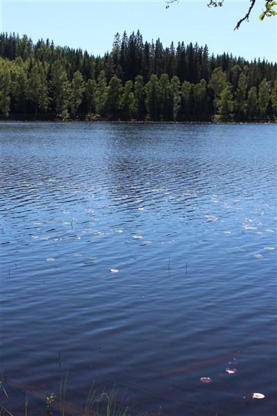
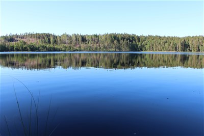
5. Gårdsåstjärnet. Windbreak. The stretch from Harstacken to Gårdsåstjärnet is 3,3 km.
6. Flyttra. The stretch from Gårdsåstjärnet to Flyttra is 1,8 km.
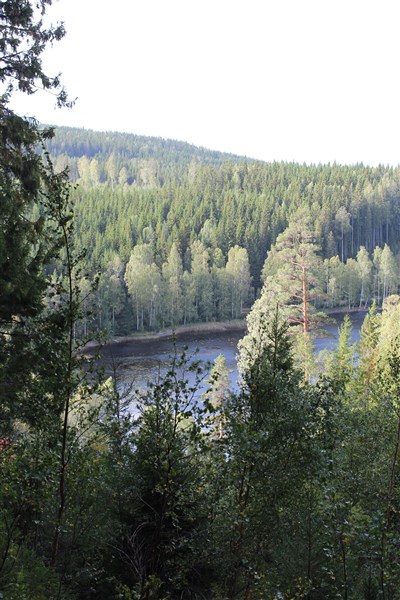
7. Savtjärnet. View point after passing Storeberget. The stretch from Flyttra to Savtjärnet is 2,1 km.
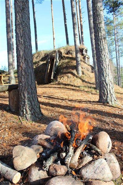
8. Korstjärn. Charcoal burners' huts. The stretch from Savtjärnet to Korstjärn is 5,6 km.
9. Mörtjärn. Windbreak. The stretch from Korstjärn to Mörttjärn is 2,1 km.
9. Ryggestaberget. Watchtower with an excellent view. The stretch from Mörttjärn to Ryggestaberget is 1,2 km.
1. Larstomta Hostel. The stretch from Ryggestaberget to Larstomta is 3,5 km.